Fast
A category, a photo, a location: sent.
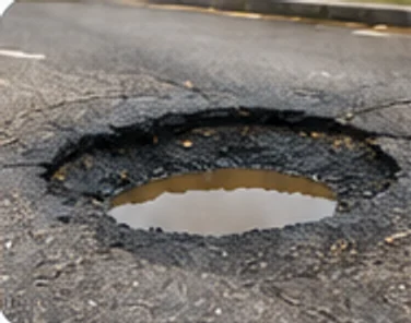
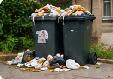
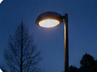
Potholes, broken street lights, rubbish: report a problem with a photo and follow how the right department handles it.
Residents report road, cleanliness or lighting issues with a photo and location. The report goes straight to the relevant department, and its status is tracked until it’s resolved.
A category, a photo, a location: sent.
The position is added to the map automatically.
Received, in progress, resolved: you’re informed at every step.
Each report is sent to the right department.
Roads, cleanliness, lighting…
Your location is detected.
Until it’s resolved.
Let’s talk about your area and what we can build together.